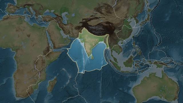
A recent study offers a new hypothesis that the Indian continental plate may split into two parts. Instead of forming a new microcontinent like East Africa, India could move horizontally while splitting into two layers, each about 100 kilometers thick.
The Himalayas are the most powerful mountain range in the world, but their distinguishing feature is the Tibetan Plateau behind them. Scientists thought they quite understood the process of the emergence of the Himalayan Mountains. They agreed that the features of Tibet were the result of India moving northward at a rate of 1-2 millimeters per year and gradually joining Eurasia. Over 60 million years, such slow motion creates mountain ranges. However, this is now much debated.
One theory suggests that the Indian plate has great buoyancy and cannot sink into the mantle, so it slides beneath the Eurasian plate, forming Tibet. Others suggest that it bends like a sheet of paper and Tibet is formed by bulging.

